The intense, long-lasting and extensive heat wave comes to an end this Monday, after nine days of highs between 39 and 45 degrees in almost the entire Peninsula that have left 510 deaths (121 in the Community of Madrid) that can be attributed to the very high temperatures.
According to data provided this Monday by the Carlos III Health Institute, in the first seven days of the heat wave -from July 10 to Saturday 16- 510 people have died from causes that can be attributed to the heat, 150 of them on Saturday (31 in Madrid) and 123 on Friday (28 in Madrid).
In addition, in Madrid, at least two workers are known to have died due to heat stroke, both suffered last Friday: a municipal cleaning worker from the capital and an employee from a factory in Móstoles.
The cleaning unions and the companies in the sector in Madrid will meet tomorrow, Tuesday, to establish permanent protocols in the face of heat waves, and on Thursday the CCOO and the UGT will meet before the Madrid City Council, after the death of these two workers.
The incidents continue to happen, and two men aged 50 and 60 have been transferred to two hospitals in Madrid after suffering heat stroke during the afternoon of Monday in the Ciudad Lineal and Puente de Vallecas districts of the capital.
The suffocating temperatures that will give a small truce at the start of this week, although the suffocating heat is expected to return in much of the country in the coming days.
The second heat wave of this summer is closed, which has been “exceptional”, especially in extension and intensity, but suffocating temperatures still persist locally, Bea Hervella, spokesperson for the State Meteorological Agency (Aemet), has advanced. that, despite the fact that tomorrow there is no active wave, “the heat with capital letters will remain in some areas”.
For the meteorologist, at the moment, “another heat wave episode is not being considered”, but she has pointed out the importance of carefully monitoring the weather situation because an increase in values is expected on Thursday.
For now, this Monday the area of maximum incidence of heat will gradually move to the northeast, explained the Aemet spokeswoman, to detail that in the western third the maximum will fall between four and eight degrees, alleviating the situation and lowering warning levels or directly eliminating them.
The descent will be motivated, among other things, because the DANA, which has remained off the Portuguese Atlantic coast in recent days, begins to move, more effectively towards the northeast to position itself late this Monday off the Galician coast , bringing the freshest Atlantic air closer to the peninsula.
In Madrid, a slight drop in temperatures is expected, with maximums between 35 and 37 degrees Celsius (ºC), in what will be a brief parenthesis before the heat wave picks up again on Wednesday.
For the first time in practically a week and a half, the Aemet deactivates tomorrow the weather warnings for the Community of Madrid, where the drop in temperatures will be less pronounced in the minimum in the eastern half of the region.
In general, the decrease in maximum temperatures will be between 3ºC and 4ºC compared to Monday, and that of the minimum between 1ºC and 3ºC.
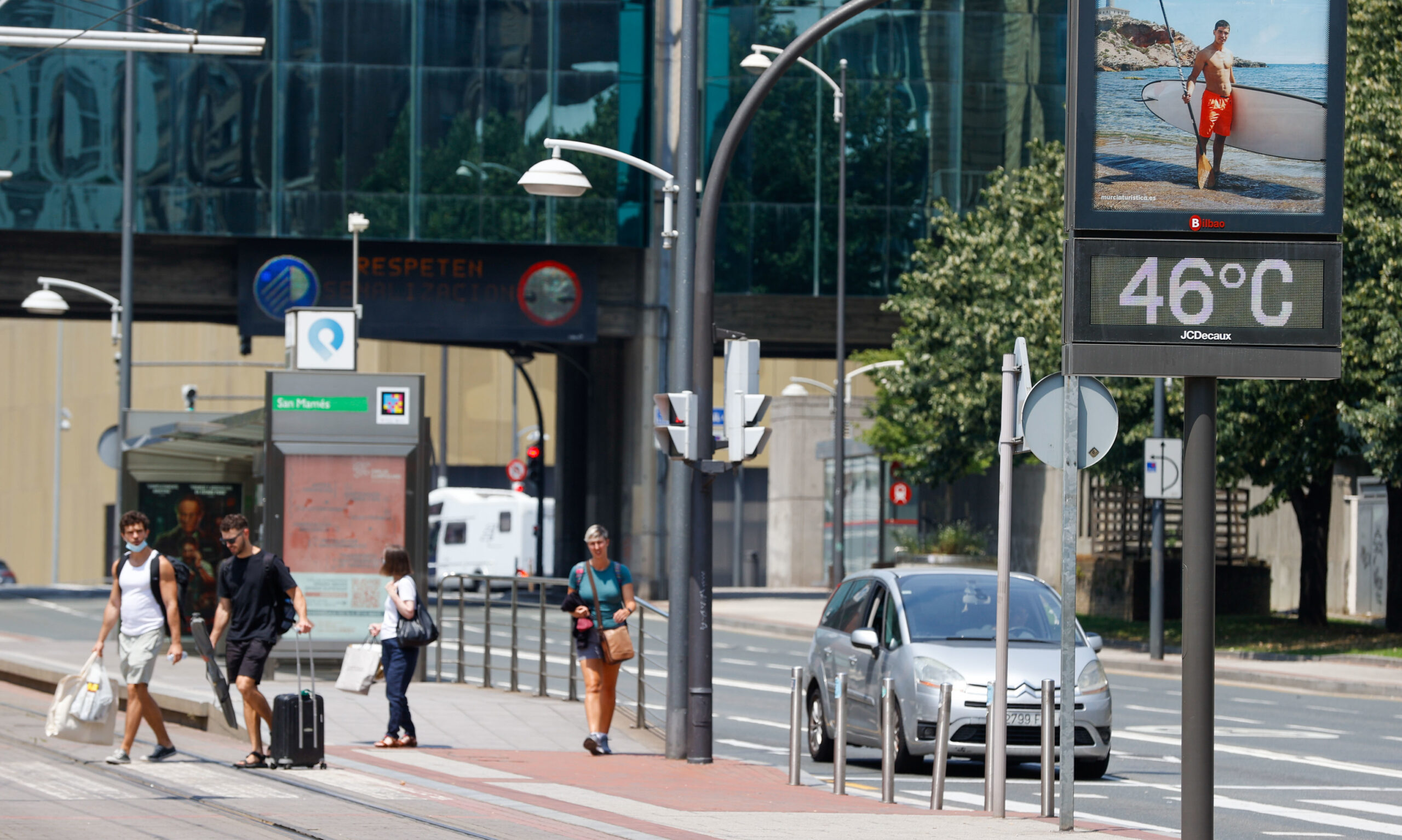
On the contrary, today significant increases in the maximum are expected in the Basque Country and in Navarra, where the maximum level warnings (red) will record temperatures between 40 and 42 degrees in areas of the coast of Vizcaya, interior of Vizcaya, Guipúzcoa, Cuenca of the Nervión and Cantabrian slope of Navarre.
Tomorrow we cannot speak of a heat wave episode because there is not 10 percent of the territory with temperatures that meet those heat wave requirements, but even so there will be areas where high temperatures will remain, and we will continue with an orange alert in the Ribera del Ebro, La Rioja, Navarra and Zaragoza.
On Wednesday, the temperature drop will finally reach the peninsular northeast, but, on the contrary, the western half will once again experience an increase in its relevant and significant maximums associated with an anticyclonic wedge -between four and six degrees- which will give rise to the heat advisories reissued in the Southwest.
In this way, that day the provinces of Córdoba, Granada and Jaén will once again have an orange level, due to maximums that will range between 40 and 42 degrees in points of the Cordovan countryside, the Genil basin, Cazorla, Segura, Morena and Condado; In the province of Badajoz, the thermometer will rise to 40 degrees in Siberian Extremadura.
As of Thursday, the maximum values will rise in the northern half and the Valencian Community, as well as in the Canary Islands, and will exceed 35 degrees in the southern half, North Plateau, Ebro Valley, Mallorca and areas of the Canary Islands, and 40 degrees in the valleys of the Guadalquivir, Guadiana and Tajo, and locally in the south of the central Canary Islands.
Conforms to The Trust Project criteria


