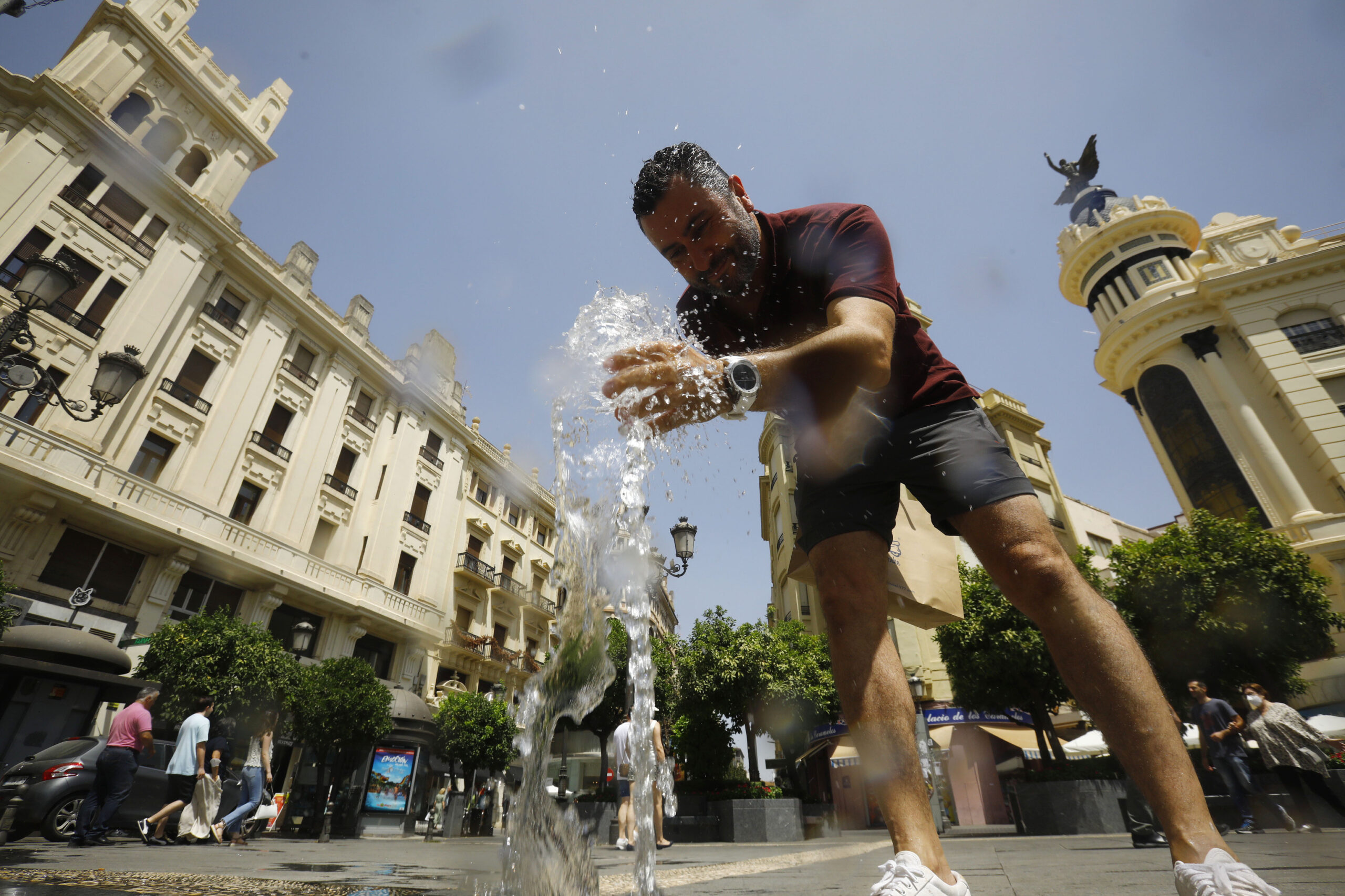
The second heat wave of the meteorological summer in Spain, which will begin this weekend and could last until at least next Friday, will bring the first 45 degrees of the year to parts of the country, especially in Badajoz.
“We are at the gates of a warm episode that will probably give rise to the second heat wave of the current summer in the area of the peninsula and the Balearic Islands, where temperatures will be very high both during the day and at night in most of the territory” , according to Rubén del Campo, spokesman for the State Meteorological Agency (Aemet), who added that this episode could last at least until the end of next week.
In addition, it will be very hot in the Canary Islands to the point that this weekend the first heat wave of the year could reach the archipelago, especially in the midlands and summits. “Although there will be a cooling between Tuesday and Wednesday, it is possible that the very intense heat will return during the second half of next week,” Del Campo added.
The heat will also be noticeable at night, since tropical nights are expected (that is, when temperatures do not drop below 20 degrees) in the Mediterranean area, areas of Galicia and the center and southern half of the peninsula, and even torrid (25 degrees minimum) in some of those places.
The prediction of the Aemet, collected by Servimedia, indicates that during this more than likely heat wave, it will exceed 40 degrees in about twenty provinces and even reach that value in areas of Gran Canaria.
Badajoz and Seville could be the hottest capitals, with at least 40 degrees as of this Friday and for several days in a row, and the capital of Badajoz would reach 45 degrees next Tuesday and 46 on Wednesday.
During this warm episode, stable weather will predominate, so it will hardly rain. It is not ruled out that evolution clouds will form that would give rise to isolated storms in mountainous areas of the peninsula.
This Friday will continue the general stabilization of the atmosphere initiated this Thursday by the presence of a high pressure ridge associated with warm air, with the consequent generalized and progressive rise in temperatures, especially in the west of the peninsula.
“A stable atmosphere in summer favors the strong heating of the ground by the sun, heat that is transmitted to the air immediately above, which causes a rise in temperatures. In addition, in situations of atmospheric stability there are fewer air movements that distribute this heat, so the temperature is higher near the surface, where we humans generally carry out our activities,” Del Campo said.
The AEMET spokesman added that the heat in these situations is “especially pronounced in areas located at low altitudes and in valleys.”
This Friday 35 degrees will be exceeded in the south of Galicia, the extreme west of Castilla y León, and large areas of the Community of Madrid, Castilla-La Mancha, Extremadura and Andalusia, with values of 38 to 40 degrees in the valleys of the Tagus, the Guadiana and the Guadalquivir.
The thermal ascent will continue during the weekend. On Sunday there will be more than 35 degrees in much of the interior of the peninsula and in the Balearic Islands, and it will reach 38 in the south of Galicia, the North Plateau, the central area and the rest of the southern half of the peninsula.
The thermometers will mark this Sunday at least 40 degrees in the Tagus, Guadiana and Guadalquivir valleys, and even 43 degrees in Badajoz.
During the weekend tropical nights are expected in the Mediterranean area, the center and the southern half, as well as possibly in points of Galicia.
On the other hand, the very warm environment will continue on Monday and Tuesday of next week in the southern half of the peninsula. Temperatures could rise sharply on those days in the north of the peninsula due to the arrival of a mass of warm air of African origin driven towards the peninsula by an area of low pressure located there.
“If the majority forecasts are fulfilled, 38 degrees would be exceeded in the Ebro valley, a good part of the North Plateau, the interior of Galicia, the central zone and the southern half, except in the southeast, where perhaps something would remain. below that figure,” said Del Campo.
Those days would reach 40 degrees in points of southern Galicia, low areas of the North Plateau and large places in the center and southwest of the peninsula, including 42 in areas of the Miño, the Tagus, the Guadiana and the Guadalquivir.
The early mornings these first two days of next week will be very warm, with tropical nights in large areas and even hot nights in parts of central Andalusia, Extremadura and the downtown area, especially in the surroundings of large cities.
As of Wednesday, the heat wave is likely to continue with little variation in temperatures at least until Friday. Perhaps the areas least affected by the episode are the southeastern third of the peninsula and the Balearic Islands, although it will also be very hot there, to which the sensation of sultry on the Mediterranean coast would be added.
Regarding the Canary Islands, this Friday there will be a marked thermal rise, with more than 32 degrees in Lanzarote, Fuerteventura and Tenerife. In the middle of the south of Gran Canaria, temperatures will exceed 35 degrees.
Temperatures will continue to rise over the weekend and are expected to drop next Monday. Those three days will be very hot, with more than 35 degrees in large areas of the archipelago and more than 38 degrees in points of Lanzarote, Fuerteventura and Gran Canarias; in the southern midlands of this island it will probably reach 40 degrees.
“Although it is possible that the descent that begins on Monday will continue on Tuesday and the heat during this day and on Wednesday will not be as intense in the Canary Islands, it is possible that from next Thursday the temperatures may rise again,” Del Campo added. .
Conforms to The Trust Project criteria


