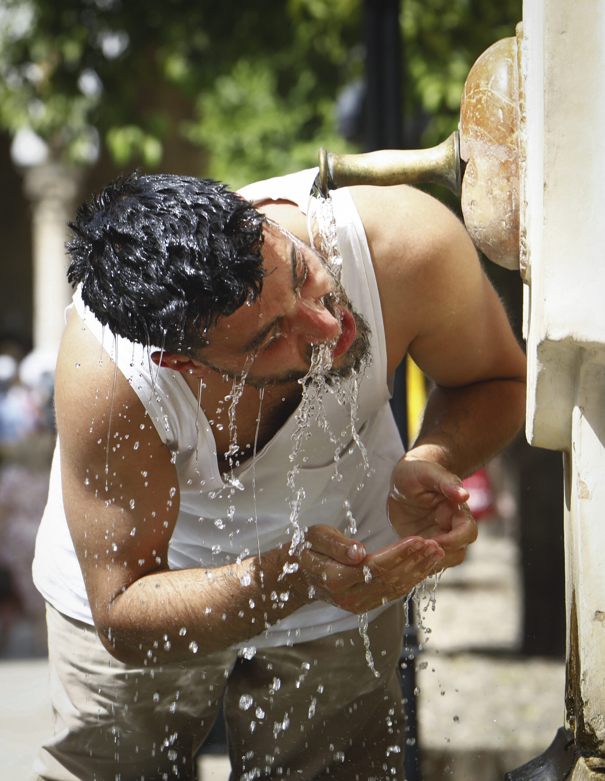
This coming weekend, the last of May, will be marked by stable weather and high temperatures, higher than usual at this time of year. In the cities of Seville and Murcia it is expected to reach 37 and 36 degrees, respectively.
This was detailed this Wednesday by the spokesman for the State Meteorological Agency (Aemet) Rubén del Campo, who specified that although this Wednesday the thermometer marks cooler records than normal for this time of year, as of Thursday there will be a “new escalation “in temperatures due to high pressures, “resulting in a warm environment and little rain in most of Spain.”
For this reason, there will be maximums of more than 32 degrees in the second half of the week in points in the south, center, east of the Balearic Islands and south of Galicia. On Thursday the skies will look slightly cloudy except in the Bay of Biscay, where drizzle could appear, which is also expected in the Strait. The prediction also points to the possibility of showers in Catalonia and the Balearic Islands.
The winds will blow this Thursday “with intensity”, in Galicia; there will be Tramontana in the east and the Balearic Islands and Levante in the Strait. “The most notable thing will be the rise in temperatures, with an increase in the maximum and minimum, which will be notable in the center and north,” said Del Campo.
The spokesman added that, this Thursday, “the increase in maximums could be up to 8 degrees compared to the previous day, exceeding 30 degrees in the Guadiana and Guadalquivir valleys”, so it is possible that Seville and Huelva reach the 32 degrees.
On Friday there will be a “similar” day, although suspended dust could arrive in Levante and the Balearic Islands, which could lead to haze. This day the temperatures will go “up” and will exceed 35 degrees in the Guadiana and Guadalquivir valleys. Thus, in cities like Badajoz, Seville, Orense Pontevedra or Murcia it will be around 32 degrees and in Zaragoza, Valencia and Madrid, 30. In the north it will be “cooler”, with records of maximums of 20 degrees in cities like Oviedo or Victory.
On Saturday the “little cloudy” skies will predominate except in the Bay of Biscay, where there could be some light rain, also possible in mountain areas in the afternoon due to evolving clouds. The haze will continue in the eastern third and the Balearic Islands and there will be a rise in temperatures, especially noticeable in the north. It will reach 34 degrees in the Miño, Ebro, Guadiana and Guadalquivir valleys. “Sevilla will be able to reach 37 and San Sebastian 32,” remarked Del Campo.
Sunday will pass “without major changes, although a little more unstable”, with clouds of evolution in mountains and afternoon showers. Temperatures will be “stable” in general, but will drop in the Guadalquivir and Catalonia and rise in the southeast. Thus, in Murcia 36 degrees are expected and 32 in the center, south and east of the peninsula, Galicia and Mallorca.
In the Canary Islands, the weekend will be of stable weather with slightly cloudy skies and temperatures with slight increases.
Looking ahead to next week, the protagonist will be a storm in the Atlantic that will have “certain influence” in Spain, as it will leave rainfall in Galicia, Asturias and northwest Castilla y León. “Temperatures will drop, but they will rise on Tuesday”, to trigger an environment again “warmer than usual during the rest of the week”, concluded the Aemet spokesman.
Conforms to The Trust Project criteria


