The second heat wave of this summer will arrive from this weekend to the entire country, including the Canary Islands, and could last until the middle of next week or “perhaps longer”, according to the spokesman for the Agency. State Meteorology (Aemet), Rubén del Campo.
After several stormy days in the north and east of the peninsula, starting this Thursday a dorsal (that is, an area of high pressure in the middle and upper levels of the troposphere associated with warm air) will form over the peninsula and the Balearic Islands, according to Rubén del Campo, spokesman for the State Meteorological Agency (Aemet). High pressures will also prevail on the surface, with which the atmosphere will stabilize, the skies will be slightly cloudy and there will be no large air movements.
“Given that this situation may persist for several days, in addition to the warm nature of the air mass itself, it will gradually warm up as it remains stagnant over our territory,” said Del Campo.
The AEMET spokesman added: “This is going to translate into a gradual and widespread rise in temperatures, both maximum and minimum, which could lead to the second heat wave of the current summer from the weekend, a situation that could go on until the middle of next week or maybe longer.
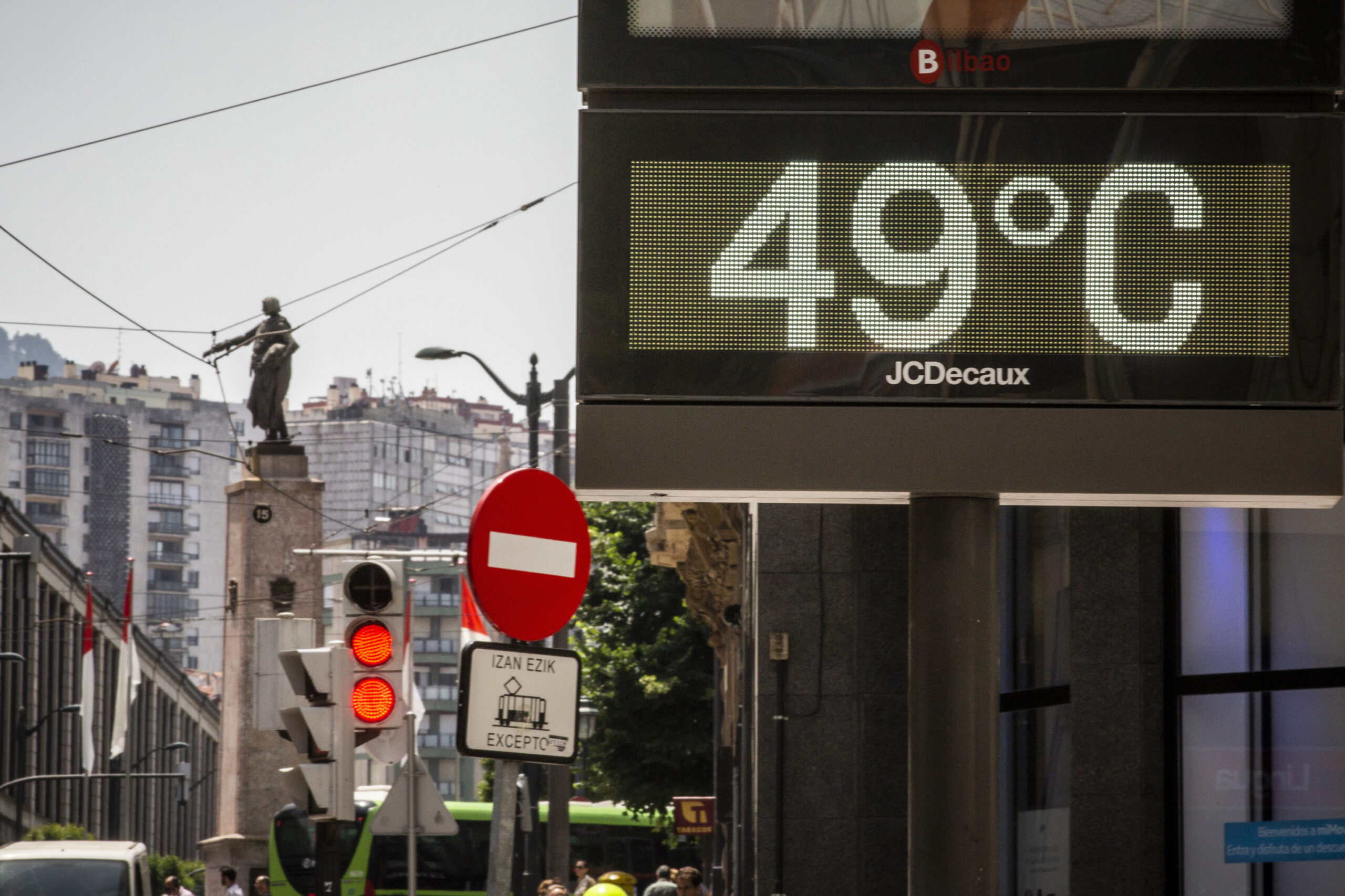
Thus, the thermometers will mark from Saturday more than 35 degrees in large areas of the peninsula and more than 40 in the valleys of the Tagus, the Guadiana and the Guadalquivir, even punctually they will reach 42 degrees. “Already at the beginning of next week, in addition to those areas, the 40 fatty acids will also be exceeded in the Ebro valley, points of the Duero, especially in the west of Castilla y León, and also in the south of Galicia”, Del Campo said.
In addition, the minimum temperatures will be very warm for several days and there will be tropical nights (when they do not drop below 20 degrees) in large areas and even hot nights (25 degrees minimum) in parts of the central and southern half of the peninsula.
“In the Canary Islands, the arrival of an African air mass is also going to cause a notable increase in temperatures from Friday and we could also talk about a heat wave in the archipelago, the first of the summer in the Canary Islands, with very intense heat, especially in areas of midlands and summits. It remains to be seen to what extent this mass of African air will affect coastal areas,” Del Campo stressed.
In any case, it will be very hot in that archipelago and points in Gran Canaria could exceed 40 degrees. Torrid nights are also expected in the south of that island and Tenerife. This possible island heat wave could last until Monday or Tuesday of next week, without ruling out that, after a slight thermal relief, the intense heat will continue during the second half of next week.
This Thursday the 40 degrees could return to points of the lower Guadalquivir. Among the provincial capitals, the Aemet prediction indicates that this Friday 41 degrees are expected in Badajoz and 40 in Córdoba and Seville; on Saturday there will be 42 in Badajoz, 41 in Córdoba and Seville, and 40 in Cáceres, and on Sunday there could be 43 in Badajoz; 41 in Cáceres, Córdoba, Ourense and Seville, and 40 in Toledo.
This Thursday and this Friday the sun will shine on the peninsula, although some isolated storms will appear in the afternoon in points of Catalonia, Aragon, the interior of the Valencian Community and the Balearic Islands, especially on Thursday.
Temperatures will begin their rise and Friday will be a very hot day in the center and south of the peninsula, with more than 35 degrees in general and 40 or 41 in Badajoz, Córdoba and Seville.
The atmosphere will cool down in the north of the peninsula, with winds that will blow from the north and northwest, a northerly wind in the Ebro and daytime values that will be around 25 degrees in Vitoria and 27 in Pamplona.
On Saturday, slightly cloudy skies will prevail throughout the country and the wind will die down. Temperatures will continue to rise, with more than 35 degrees not only in the center and the southern half of the peninsula, but also in the Northern Plateau, the Ebro depression and points in the Balearic Islands. Badajoz, Cáceres, Córdoba and Seville will be at least 40 degrees, and Ciudad Real and Ourense will be around 38.
On Sunday there will be a new rise in thermometers. The morning will be tropical in the Mediterranean, the center and the southern half. During the day suffocating heat is expected in much of the country, including the Canary Islands.
The coolest areas will be in the Bay of Biscay, with 25 degrees in San Sebastián and Santander. Instead, there will be more than 40 degrees again in the Tagus, Guadiana and Guadalquivir valleys, as well as in cities such as Badajoz, Cáceres, Córdoba, Ourense, Seville and Toledo.
On the shores of the Mediterranean, a warm atmosphere with a feeling of embarrassment due to the humidity is also expected this Sunday, with 33 or 34 degrees in Castellón de la Plana, Palma and Valencia. And the Canary Islands will have more than 35 in large areas of the archipelago and more than 40 in points in the south of Gran Canaria.
This warm situation could last a few more days after the weekend, with slight rises in thermometers at the beginning of next week in the Iberian Peninsula.
“There is some uncertainty about Tuesday, when there could be – some scenarios indicate – a drop in temperatures, but they would rise again from Wednesday. In any case, very intense heat for much of the week. It is still difficult predict when this heat wave could end if it finally happens,” added Del Campo.
Thus, a DANA (high-level isolated depression) will form in the Atlantic that could inject fresh air so that the extreme heat ends in the middle of the week. “We cannot put a specific date for the end of the warm episode,” said Del Campo.
In the Canary Islands it is also possible that there will be a temperature drop on Monday and Tuesday, although the thermometers could pick up from Wednesday.
“We are at the gates of a possible heat wave, which would be the second of the summer in the peninsula and the Balearic Islands, and the first in the Canary Islands. Therefore, extreme precautions must be taken due to the high temperatures,” Del Campo concluded.
The first heat wave of the meteorological summer in Spain lasted for eight days from Saturday, June 11, to Saturday, June 18, and was the earliest since at least 1975, together with the one that began on June 11, 1981. .
In addition, it provisionally became the most intense of those that began before June 15, it turned out to be the second most extensive since 1975 because it affected 38 provinces and broke 14 temperature records, according to the Aemet.
In addition, June 14, 15, 16 and 17 of this year were the warmest in the whole of Spain on those same dates since at least 1950, and June 17 turned out to be the hottest of the month since the middle of the century. past.
That heat wave multiplied the fires in many areas of Spain, had average temperatures that would have been among the 5% of the warmest in the heat wave, which is usually the hottest time of the year and runs from mid-July to mid-August. .
The episode contributed to the fact that the first half of June this year was the warmest in Spain since at least 1950, with maximum temperatures that were about five degrees above normal. And the first 20 days of this month were the hottest for those dates since the middle of this century, after surpassing those of 2017 and 2003.
Conforms to The Trust Project criteria


