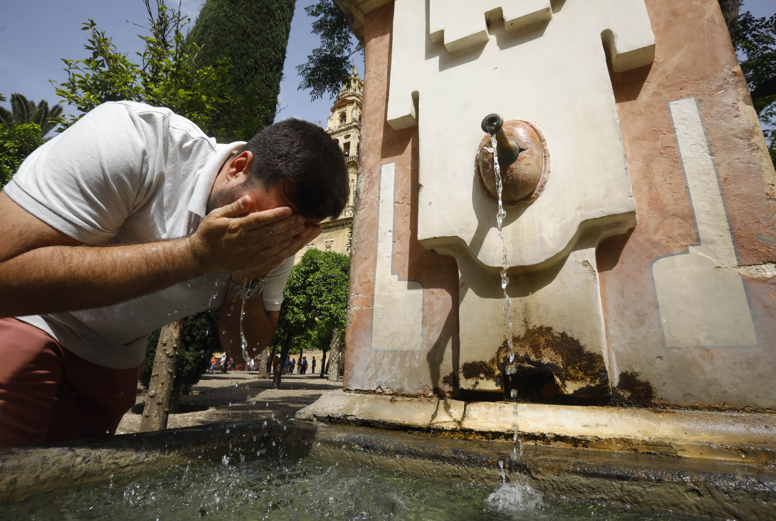
The last weekend of May will leave an almost summery weather with temperatures between 5 and 10 degrees above normal at this time, which will shoot up the thermometers to reach 35 degrees in Seville or 32 in the center, south, northeast of the peninsula. , south of Galicia and points of Mallorca.
The weather is generally stable and hot, although temperatures as high as those of last week were not reached, Rubén Del Campo, spokesman for the Meteorology Agency (Aemet), has advanced, who has specified that this Friday is expected to be very sunny and with thermometers that will already rise to 35 degrees in Badajoz, Córdoba and Seville.
Saturday will also be a day with few clouds, although in mountain areas an occasional shower could grow from noon, in addition to some suspended dust appearing in the southern half of the peninsula, and all this with temperatures that will continue to climb degrees .
Thus, in the south of Galicia, in the Ebro Basin and in the central area it will reach 32 degrees, in points of the interior of the Valencian Community and the region of Murcia around 34 degrees and in the valleys of the Tagus, Guadiana and Guadalquivir 34-35 degrees; and in the city of Córdoba it could be close to 37 or 38 degrees.
On Sunday there will be a slight increase in instability and, although it will be slightly cloudy at dawn, clouds of daytime evolution will form from midday inland, with possible stormy showers, more likely in mountain areas and locally, especially in the Pyrenees. could reach a certain intensity.
Temperatures will rise this day in the southeast of the country and will drop in Catalonia, Galicia and weaker in the southern half, even so, -Del Campo has detailed- “the environment will continue to be warm” with values that will once again exceed 30 degrees in the Ebro Basin, in the Tagus, Guadiana and Guadalquivir Valleys, the south of the Valencian Community and the Murcia region.
In fact, in the Murcian capital on Sunday the maximum temperature could even reach 38 degrees.
As of Monday, the presence of an Atlantic storm to the west of the peninsula will destabilize the atmosphere with rains in the extreme west, peninsular and Cantabrian area and with the possibility of storms in inland areas; temperatures will experience ups and downs, although in general they will be higher than usual for the time in the east of the peninsula.
An increase is expected in the Bay of Biscay, the Valencian Community and the Balearic Islands and Zaragoza that could leave values of up to 35 degrees, as in the region of Murcia, while in Mallorca it could exceed 32 degrees.
On the contrary, in the rest of the country there will be a temperature drop of up to 6 degrees, which will favor, that in the western end of the peninsula, Badajoz, Salamanca or Madrid, for example, on Monday it will reach a maximum of 25 to 27 degrees, temperatures more or less typical of this time of year.
During Tuesday and Wednesday the Atlantic storm will continue to leave rains, more abundant these two days than on Monday, especially in Galicia and Asturias, and which will spread weaker to Castilla y León and Extremadura; in the rest of the country, sunny and with clouds from noon.
The spokesman explained that, regarding temperatures, the trend is for them to rise in almost all of Spain on Tuesday and for them to do so on Wednesday in the Bay of Biscay and in areas of the northeast of the peninsula, with a warm environment for the time in the eastern half of the peninsula. and Balearic Islands.
The second half of the week is expected to be somewhat cooler with an unstable environment that will favor storms in the center, north and east of the peninsula, and with higher temperatures than usual in the eastern half and the Balearic Islands and with typical values for the beginning of June in the rest.
Conforms to The Trust Project criteria


