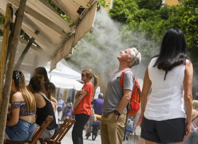
The first half of the week will be marked by a drop in temperatures, which will favor a cloudy environment with showers in isolated parts of the country, while in the second half there will be a “remarkable rise”, which will raise the thermometers again above 30 degrees.
The spokesman for the State Meteorological Agency (Aemet), Rubén del Campo, has indicated that after very hot days the week will begin with “more spring-like” temperatures for the period of the year in which we find ourselves.
During this Monday, the sky will be cloudy, with records that will drop in much of the country, although the heat will persist in points of the Guadalquivir, Catalonia, the Valencian Community and the Balearic Islands, where it may exceed 34 and 35 degrees.
Looking ahead to Tuesday, the arrival of Atlantic air from the northwest, fresh and unstable, will leave rains in the north and in Catalonia -where rainfall can be strong and persistent-, as well as in the surroundings of the Iberian system, of the Valencian Community and Balearic Islands.
As Del Campo has indicated, in the rest of the country there will be cloudy intervals, but without rain and with values that will drop significantly, with decreases of between 8 and 10 degrees compared to Monday in northern points; For example, in Vitoria and Pamplona, where 33 and 34 degrees were recorded on Saturday, respectively, it is not expected that they will exceed 17 degrees.
On Wednesday, showers are forecast in Catalonia and the Balearic Islands, which could gain some intensity, while in the rest of Spain clear skies will prevail and with values that will begin to rise in the west, although a cool environment will still persist, encouraged by the wind, in northeastern areas.
This cool environment will cease from Thursday with the return of the heat, with less intensity than the previous week, but it will exceed 30 degrees again in much of Extremadura and Andalusia, and even 34 and 35 degrees in areas of the Guadalquivir.
These days, rainfall will be “scant” and will be restricted to the Pyrenees area and other mountain areas with evolving clouds that may lead to weak and isolated showers.
The Aemet spokesman points out that from Friday and the weekend, this thermal rise will continue, and daytime values could be between 5 and 10 degrees higher than usual for the time of year in much of Spain, with 34 degrees in the Ebro basins, the Tagus, Guadiana and Guadalquivir valleys, as well as tropical nights in parts of the southern peninsula.
The Canary archipelago will be dominated by trade winds during the first half of the week, more intense and with possible drizzles; as of Thursday, weaker trade winds and slightly rising temperatures.
Conforms to The Trust Project criteria


